
范各庄村 topographic map
Interactive map
Click on the map to display elevation.
About this map
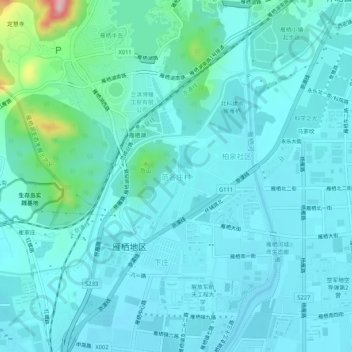
Name: 范各庄村 topographic map, elevation, terrain.
Location: 范各庄村, 怀柔区, 北京市, 101422, 中国 (40.34697 116.63911 40.38697 116.67911)
Average elevation: 233 ft
Minimum elevation: 141 ft
Maximum elevation: 827 ft
Other topographic maps
Click on a map to view its topography, its elevation and its terrain.