
下湾子 topographic map
Interactive map
Click on the map to display elevation.
About this map
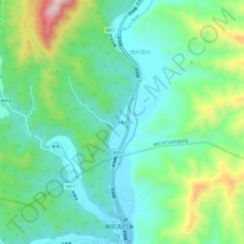
Name: 下湾子 topographic map, elevation, terrain.
Location: 下湾子, 怀柔区, 北京市, 101414, 中国 (40.89806 116.59665 40.93806 116.63665)
Average elevation: 1,913 ft
Minimum elevation: 1,519 ft
Maximum elevation: 2,927 ft
Other topographic maps
Click on a map to view its topography, its elevation and its terrain.