
旧水坑村 topographic map
Interactive map
Click on the map to display elevation.
About this map
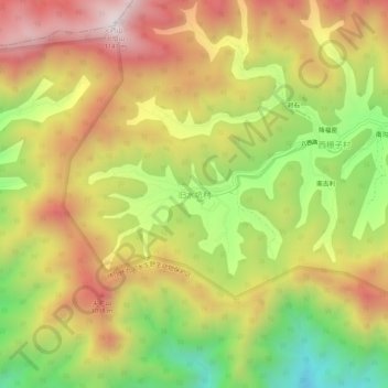
Name: 旧水坑村 topographic map, elevation, terrain.
Location: 旧水坑村, 怀柔区, 北京市, 中国 (40.44468 116.49312 40.48468 116.53312)
Average elevation: 2,405 ft
Minimum elevation: 912 ft
Maximum elevation: 3,776 ft
Other topographic maps
Click on a map to view its topography, its elevation and its terrain.