
平利县 topographic map
Interactive map
Click on the map to display elevation.
About this map
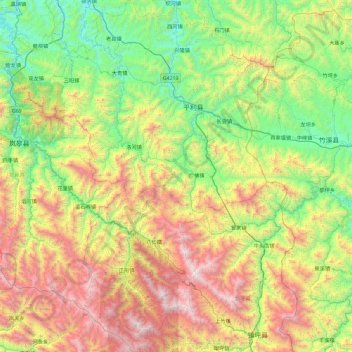
Name: 平利县 topographic map, elevation, terrain.
Location: 平利县, 安康市, 陕西省, 中国 (31.84706 108.98140 32.63005 109.55250)
Average elevation: 3,799 ft
Minimum elevation: 892 ft
Maximum elevation: 9,439 ft
Other topographic maps
Click on a map to view its topography, its elevation and its terrain.