
旬阳市 topographic map
Interactive map
Click on the map to display elevation.
About this map
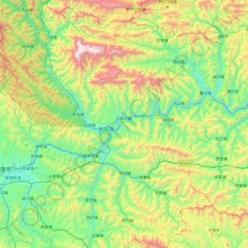
Name: 旬阳市 topographic map, elevation, terrain.
Location: 旬阳市, 安康市, 陕西省, 中国 (32.48184 108.96515 33.21158 109.81274)
Average elevation: 2,559 ft
Minimum elevation: 600 ft
Maximum elevation: 7,579 ft
Other topographic maps
Click on a map to view its topography, its elevation and its terrain.