
关坝村 topographic map
Interactive map
Click on the map to display elevation.
About this map
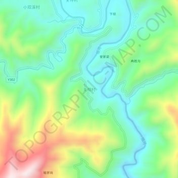
Name: 关坝村 topographic map, elevation, terrain.
Location: 关坝村, 安康市, 陕西省, 中国 (32.86083 108.78835 32.90083 108.82835)
Average elevation: 1,860 ft
Minimum elevation: 1,198 ft
Maximum elevation: 3,248 ft
Other topographic maps
Click on a map to view its topography, its elevation and its terrain.