
火地塘 topographic map
Interactive map
Click on the map to display elevation.
About this map
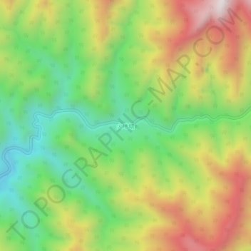
Name: 火地塘 topographic map, elevation, terrain.
Location: 火地塘, 安康市, 陕西省, 中国 (33.41377 108.42763 33.45377 108.46763)
Average elevation: 5,942 ft
Minimum elevation: 4,560 ft
Maximum elevation: 7,736 ft
Other topographic maps
Click on a map to view its topography, its elevation and its terrain.