
合心村 topographic map
Interactive map
Click on the map to display elevation.
About this map
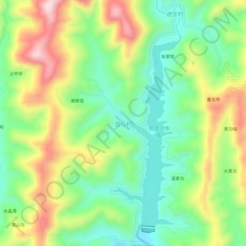
Name: 合心村 topographic map, elevation, terrain.
Location: 合心村, 安康市, 陕西省, 中国 (32.94419 108.47975 32.98419 108.51975)
Average elevation: 1,870 ft
Minimum elevation: 1,401 ft
Maximum elevation: 2,582 ft
Other topographic maps
Click on a map to view its topography, its elevation and its terrain.