
Lierne topographic map
Interactive map
Click on the map to display elevation.
About this map
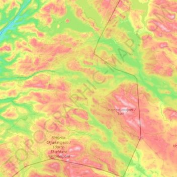
Name: Lierne topographic map, elevation, terrain.
Location: Lierne, Trøndelag, Norway (64.00797 13.06950 64.82212 14.15710)
Average elevation: 1,926 ft
Minimum elevation: 390 ft
Maximum elevation: 4,547 ft
Other topographic maps
Click on a map to view its topography, its elevation and its terrain.