
Midtre Gauldal topographic map
Interactive map
Click on the map to display elevation.
About this map
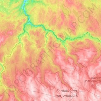
Name: Midtre Gauldal topographic map, elevation, terrain.
Location: Midtre Gauldal, Trøndelag, Norway (62.64547 9.98792 63.14359 10.99857)
Average elevation: 2,205 ft
Minimum elevation: 98 ft
Maximum elevation: 4,341 ft
Other topographic maps
Click on a map to view its topography, its elevation and its terrain.