
Tydal topographic map
Interactive map
Click on the map to display elevation.
About this map
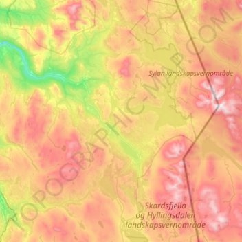
Name: Tydal topographic map, elevation, terrain.
Location: Tydal, Trøndelag, 7590, Norway (62.74793 11.27190 63.19490 12.21823)
Average elevation: 2,808 ft
Minimum elevation: 748 ft
Maximum elevation: 5,597 ft
Other topographic maps
Click on a map to view its topography, its elevation and its terrain.