
Grong topographic map
Interactive map
Click on the map to display elevation.
About this map
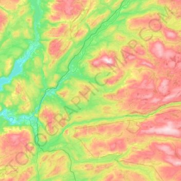
Name: Grong topographic map, elevation, terrain.
Location: Grong, Trøndelag, Norway (64.33236 12.07088 64.72637 13.09097)
Average elevation: 1,299 ft
Minimum elevation: 26 ft
Maximum elevation: 3,691 ft
Other topographic maps
Click on a map to view its topography, its elevation and its terrain.