
Cannon topographic map
Click on the map to display elevation.
About this map
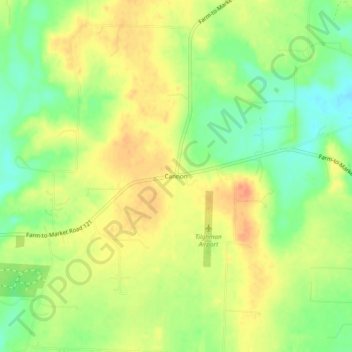
Name: Cannon topographic map, elevation, terrain.
Location: Cannon, Grayson County, Texas, United States (33.41872 -96.50387 33.45872 -96.46387)
Average elevation: 725 ft
Minimum elevation: 646 ft
Maximum elevation: 787 ft
Grayson County trails, hiking, mountain biking, running and outdoor activities
Other topographic maps
Click on a map to view its topography, its elevation and its terrain.
Howe
United States > Texas > Grayson County
Howe's elevation of 860 feet (260 m) is the highest point along US 75 between the Red River and the Gulf of Mexico.
Average elevation: 814 ft