
霍尔乡 topographic map
Interactive map
Click on the map to display elevation.
About this map
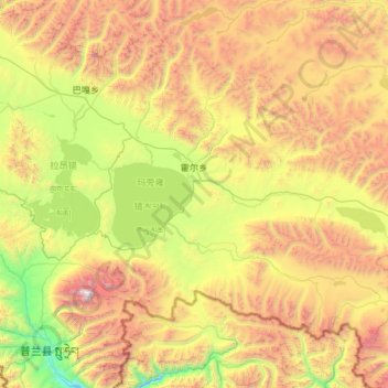
Name: 霍尔乡 topographic map, elevation, terrain.
Location: 霍尔乡, 普兰县, 阿里地区, 西藏自治区, 中国 (30.30298 81.36520 31.09824 82.54732)
Average elevation: 16,801 ft
Minimum elevation: 12,277 ft
Maximum elevation: 25,016 ft
Other topographic maps
Click on a map to view its topography, its elevation and its terrain.