
Sogndal topographic map
Click on the map to display elevation.
About this map
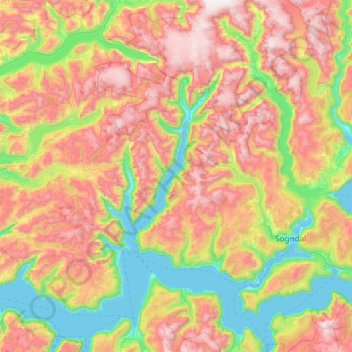
Name: Sogndal topographic map, elevation, terrain.
Location: Sogndal, Vestland, Norway (61.08973 6.25198 61.57025 7.42980)
Average elevation: 2,379 ft
Minimum elevation: 0 ft
Maximum elevation: 6,056 ft
Other topographic maps
Click on a map to view its topography, its elevation and its terrain.