
Nesbyen topographic map
Interactive map
Click on the map to display elevation.
About this map
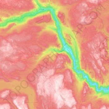
Name: Nesbyen topographic map, elevation, terrain.
Location: Nesbyen, Viken, 3540, Norway (60.39324 8.68145 60.70117 9.43519)
Average elevation: 2,762 ft
Minimum elevation: 446 ft
Maximum elevation: 4,393 ft
Other topographic maps
Click on a map to view its topography, its elevation and its terrain.
Engelsviken
Norway > Viken > Engelsviken
Engelsviken, Fredrikstad, Viken, 1628, Norway
Average elevation: 39 ft