
Oppdal topographic map
Interactive map
Click on the map to display elevation.
About this map
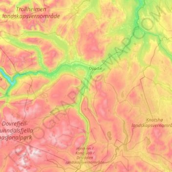
Name: Oppdal topographic map, elevation, terrain.
Location: Oppdal, Trøndelag, Norway (62.25573 8.91996 62.81605 10.09758)
Average elevation: 3,560 ft
Minimum elevation: 522 ft
Maximum elevation: 7,415 ft
Other topographic maps
Click on a map to view its topography, its elevation and its terrain.