
Nordfjord topographic map
Interactive map
Click on the map to display elevation.
About this map
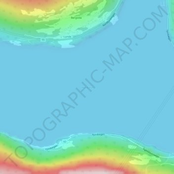
Name: Nordfjord topographic map, elevation, terrain.
Location: Nordfjord, Stryn, Vestland, 6783, Norvège (61.87988 6.68074 61.87998 6.68084)
Average elevation: 194 ft
Minimum elevation: 0 ft
Maximum elevation: 1,421 ft
Other topographic maps
Click on a map to view its topography, its elevation and its terrain.
Preikestolen
Preikestolen, Osterøy, Vestland, 5284, Norvège
Average elevation: 860 ft
Vossavangen
Norvège > Vestland > Vossavangen
Vossavangen, Voss herad, Vestland, 5701, Norvège
Average elevation: 1,155 ft