Iceland topographic maps
Click on a map to view its topography, its elevation and its terrain.















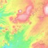


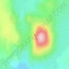
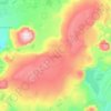
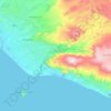
Laki
The eruption, also known as the Skaftáreldar [ˈskaftˌauːrˌɛltar̥] ("Skaftá fires") or Síðueldur [ˈsiːðʏˌɛltʏr̥] produced an estimated 14 km3 (18×10^9 cu yd) of basalt lava, and the total volume of tephra emitted was 0.91 km3 (1.2×10^9 cu yd). Lava fountains were estimated to have reached…
Average elevation: 2,054 ft
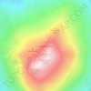

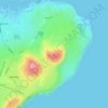



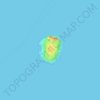
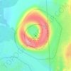
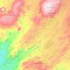
Grímsey
There are steep cliffs all along the coastline except on the southwestern shore. Grímsey has an area of 5.3 square kilometres (2.0 sq mi), and a maximum elevation of 105 metres (344 ft).
Average elevation: 39 ft
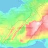
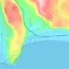
Seydisfjordur
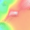
A road over Fjarðarheiði mountain pass (elevation 600 m or 2,000 ft) connects Seyðisfjörður to the rest of Iceland; 27 kilometres (17 miles) to the Ring Road and Egilsstaðir. Seyðisfjörður is surrounded by mountains with the most prominent Mt. Bjólfur to the west (1085 m) and Strandartindur (1010 m)…
Average elevation: 1,453 ft
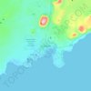
Vik
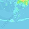
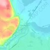
Vík í Mýrdal is the warmest place in Iceland, with an annual mean temperature of 5.3 °C (41.5 °F). Like most of coastal Iceland, Vík í Mýrdal has a subpolar oceanic climate (Koppen Cfc) with cold but not severe winters, and cool, short summers. Its winters are among the warmest in Iceland, with an…
Average elevation: 348 ft
Eyjafjallajökull
Eyjafjallajökull (Icelandic: [ˈeiːjaˌfjatl̥aˌjœːkʏtl̥] ; "glacier of (the mountain) Eyjafjöll"), sometimes referred to by the numeronym E15, is one of the smaller ice caps of Iceland, north of Skógar and west of Mýrdalsjökull. The ice cap covers the caldera of a volcano with a summit elevation of…
Average elevation: 4,787 ft