
金星庄村 topographic map
Interactive map
Click on the map to display elevation.
About this map
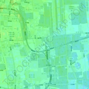
Name: 金星庄村 topographic map, elevation, terrain.
Location: 金星庄村, 大兴区, 北京市, 102614, 中国 (39.73992 116.36001 39.77992 116.40001)
Average elevation: 128 ft
Minimum elevation: 112 ft
Maximum elevation: 144 ft
Other topographic maps
Click on a map to view its topography, its elevation and its terrain.