
礼贤镇 topographic map
Interactive map
Click on the map to display elevation.
About this map
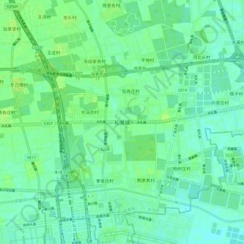
Name: 礼贤镇 topographic map, elevation, terrain.
Location: 礼贤镇, 大兴区, 北京市, 中国 (39.51547 116.38926 39.59547 116.46926)
Average elevation: 92 ft
Minimum elevation: 75 ft
Maximum elevation: 108 ft
Other topographic maps
Click on a map to view its topography, its elevation and its terrain.