
西南次村 topographic map
Interactive map
Click on the map to display elevation.
About this map
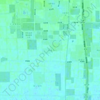
Name: 西南次村 topographic map, elevation, terrain.
Location: 西南次村, 大兴区, 北京市, 中国 (39.58839 116.28238 39.62839 116.32238)
Average elevation: 112 ft
Minimum elevation: 102 ft
Maximum elevation: 125 ft
Other topographic maps
Click on a map to view its topography, its elevation and its terrain.