
青云店二村一村 topographic map
Interactive map
Click on the map to display elevation.
About this map
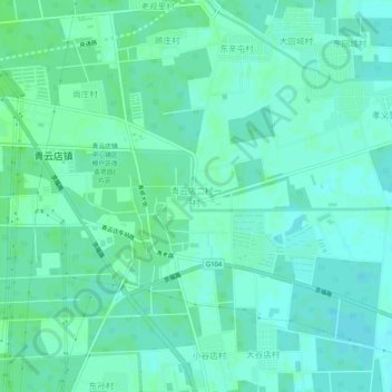
Name: 青云店二村一村 topographic map, elevation, terrain.
Location: 青云店二村一村, 大兴区, 北京市, 中国 (39.66011 116.49457 39.70011 116.53457)
Average elevation: 89 ft
Minimum elevation: 75 ft
Maximum elevation: 98 ft
Other topographic maps
Click on a map to view its topography, its elevation and its terrain.