
博大公园 topographic map
Interactive map
Click on the map to display elevation.
About this map
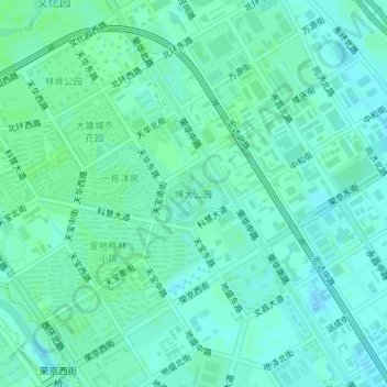
Name: 博大公园 topographic map, elevation, terrain.
Location: 博大公园, 北京经济技术开发区, 大兴区, 北京市, 中国 (39.79302 116.49402 39.79779 116.50091)
Average elevation: 112 ft
Minimum elevation: 98 ft
Maximum elevation: 118 ft
Other topographic maps
Click on a map to view its topography, its elevation and its terrain.