
瀛海镇 topographic map
Interactive map
Click on the map to display elevation.
About this map
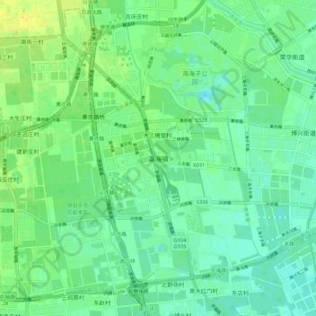
Name: 瀛海镇 topographic map, elevation, terrain.
Location: 瀛海镇, 大兴区, 北京市, 100076, 中国 (39.71528 116.40594 39.79528 116.48594)
Average elevation: 112 ft
Minimum elevation: 85 ft
Maximum elevation: 154 ft
Other topographic maps
Click on a map to view its topography, its elevation and its terrain.