
邵各庄村 topographic map
Interactive map
Click on the map to display elevation.
About this map
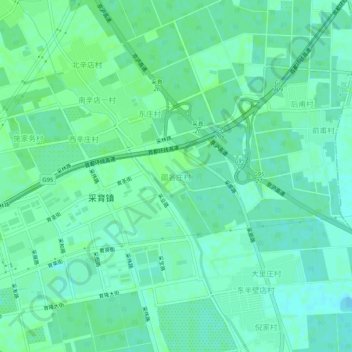
Name: 邵各庄村 topographic map, elevation, terrain.
Location: 邵各庄村, 大兴区, 北京市, 中国 (39.63291 116.65255 39.67291 116.69255)
Average elevation: 62 ft
Minimum elevation: 46 ft
Maximum elevation: 72 ft
Other topographic maps
Click on a map to view its topography, its elevation and its terrain.