
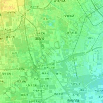
新凤河 topographic map
Interactive map
Click on the map to display elevation.
About this map
Name: 新凤河 topographic map, elevation, terrain.
Location: 新凤河, 大兴区, 北京市, 102628, 中国 (39.72001 116.38273 39.76026 116.53562)
Average elevation: 108 ft
Minimum elevation: 79 ft
Maximum elevation: 154 ft
Other topographic maps
Click on a map to view its topography, its elevation and its terrain.