
业拉山 topographic map
Interactive map
Click on the map to display elevation.
About this map
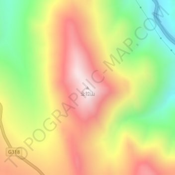
Name: 业拉山 topographic map, elevation, terrain.
Location: 业拉山, 昌都市, 西藏自治区, 中国 (30.17156 97.31680 30.17166 97.31690)
Average elevation: 14,797 ft
Minimum elevation: 13,409 ft
Maximum elevation: 16,089 ft
Other topographic maps
Click on a map to view its topography, its elevation and its terrain.