
邓巴村 topographic map
Interactive map
Click on the map to display elevation.
About this map
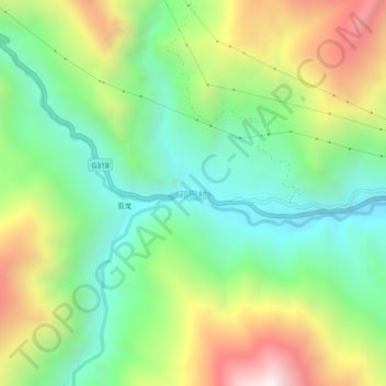
Name: 邓巴村 topographic map, elevation, terrain.
Location: 邓巴村, 昌都市, 西藏自治区, 中国 (29.52048 98.20885 29.56048 98.24885)
Average elevation: 12,736 ft
Minimum elevation: 11,178 ft
Maximum elevation: 15,364 ft
Other topographic maps
Click on a map to view its topography, its elevation and its terrain.