
康巴 topographic map
Interactive map
Click on the map to display elevation.
About this map
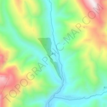
Name: 康巴 topographic map, elevation, terrain.
Location: 康巴, 昌都市, 西藏自治区, 中国 (31.41414 97.52376 31.45414 97.56376)
Average elevation: 13,615 ft
Minimum elevation: 12,585 ft
Maximum elevation: 15,449 ft
Other topographic maps
Click on a map to view its topography, its elevation and its terrain.