
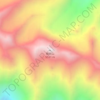
横断山 topographic map
Interactive map
Click on the map to display elevation.
About this map
Name: 横断山 topographic map, elevation, terrain.
Location: 横断山, 昌都市, 西藏自治区, 中国 (29.11578 98.05923 29.11588 98.05933)
Average elevation: 15,997 ft
Minimum elevation: 13,727 ft
Maximum elevation: 17,625 ft
Other topographic maps
Click on a map to view its topography, its elevation and its terrain.