
龙桑村 topographic map
Interactive map
Click on the map to display elevation.
About this map
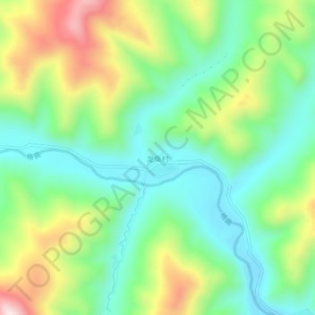
Name: 龙桑村 topographic map, elevation, terrain.
Location: 龙桑村, 昌都市, 西藏自治区, 中国 (31.37652 96.15099 31.41652 96.19099)
Average elevation: 14,199 ft
Minimum elevation: 13,619 ft
Maximum elevation: 15,292 ft
Other topographic maps
Click on a map to view its topography, its elevation and its terrain.