
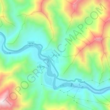
小恩达村 topographic map
Interactive map
Click on the map to display elevation.
About this map
Name: 小恩达村 topographic map, elevation, terrain.
Location: 小恩达村, 昌都市, 西藏自治区, 中国 (31.14267 97.10742 31.18267 97.14742)
Average elevation: 11,493 ft
Minimum elevation: 10,584 ft
Maximum elevation: 13,248 ft
Other topographic maps
Click on a map to view its topography, its elevation and its terrain.