
上盐井 topographic map
Interactive map
Click on the map to display elevation.
About this map
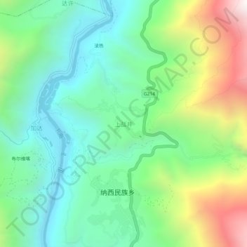
Name: 上盐井 topographic map, elevation, terrain.
Location: 上盐井, 昌都市, 西藏自治区, 中国 (29.02519 98.58746 29.06519 98.62746)
Average elevation: 8,963 ft
Minimum elevation: 7,411 ft
Maximum elevation: 12,352 ft
Other topographic maps
Click on a map to view its topography, its elevation and its terrain.