
甲桑卡乡 topographic map
Interactive map
Click on the map to display elevation.
About this map
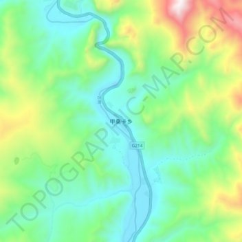
Name: 甲桑卡乡 topographic map, elevation, terrain.
Location: 甲桑卡乡, 昌都市, 西藏自治区, 中国 (31.78006 96.27615 31.86006 96.35615)
Average elevation: 13,071 ft
Minimum elevation: 11,877 ft
Maximum elevation: 16,047 ft
Other topographic maps
Click on a map to view its topography, its elevation and its terrain.