
Værøy topographic map
Interactive map
Click on the map to display elevation.
About this map
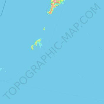
Name: Værøy topographic map, elevation, terrain.
Location: Værøy, Nordland, 8063, Norway (67.36496 11.98772 67.87008 13.50668)
Average elevation: 10 ft
Minimum elevation: 0 ft
Maximum elevation: 2,677 ft
Other topographic maps
Click on a map to view its topography, its elevation and its terrain.
Haukland Beach
Haukland Beach, Sjøbakken, Vestvågøy, Nordland, Norway
Average elevation: 338 ft
Ballangen - Bálák
Ballangen - Bálák, Narvik, Nordland, Norway
Average elevation: 299 ft
Sulitjelma - Sulisjielmmá
Sulitjelma - Sulisjielmmá, Fauske, Nordland, Norway
Average elevation: 1,243 ft