
Meløy topographic map
Interactive map
Click on the map to display elevation.
About this map
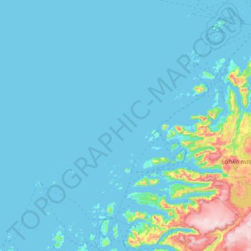
Name: Meløy topographic map, elevation, terrain.
Location: Meløy, Nordland, Norway (66.62042 12.34414 67.27540 14.41901)
Average elevation: 364 ft
Minimum elevation: -10 ft
Maximum elevation: 5,177 ft
Other topographic maps
Click on a map to view its topography, its elevation and its terrain.
Haukland Beach
Haukland Beach, Sjøbakken, Vestvågøy, Nordland, Norway
Average elevation: 338 ft
Ballangen - Bálák
Ballangen - Bálák, Narvik, Nordland, Norway
Average elevation: 299 ft
Sulitjelma - Sulisjielmmá
Sulitjelma - Sulisjielmmá, Fauske, Nordland, Norway
Average elevation: 1,243 ft