
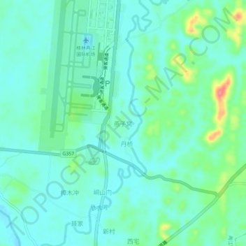
燕子窝 topographic map
Interactive map
Click on the map to display elevation.
About this map
Name: 燕子窝 topographic map, elevation, terrain.
Location: 燕子窝, 桂林市, 广西壮族自治区, 641106, 中国 (25.18686 110.03081 25.22686 110.07081)
Average elevation: 551 ft
Minimum elevation: 492 ft
Maximum elevation: 745 ft
Other topographic maps
Click on a map to view its topography, its elevation and its terrain.