
白宝乡 topographic map
Interactive map
Click on the map to display elevation.
About this map
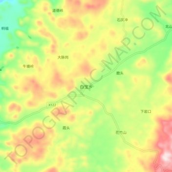
Name: 白宝乡 topographic map, elevation, terrain.
Location: 白宝乡, 桂林市, 广西壮族自治区, 中国 (25.83608 111.12904 25.91608 111.20904)
Average elevation: 1,644 ft
Minimum elevation: 837 ft
Maximum elevation: 2,569 ft
Other topographic maps
Click on a map to view its topography, its elevation and its terrain.