
阳家山 topographic map
Interactive map
Click on the map to display elevation.
About this map
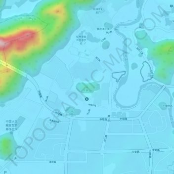
Name: 阳家山 topographic map, elevation, terrain.
Location: 阳家山, 桂林市, 广西壮族自治区, 541012, 中国 (25.28092 110.25492 25.28102 110.25502)
Average elevation: 577 ft
Minimum elevation: 479 ft
Maximum elevation: 1,526 ft
Other topographic maps
Click on a map to view its topography, its elevation and its terrain.