
罗城 topographic map
Interactive map
Click on the map to display elevation.
About this map
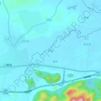
Name: 罗城 topographic map, elevation, terrain.
Location: 罗城, 桂林市, 广西壮族自治区, 中国 (24.64532 110.77391 24.68532 110.81391)
Average elevation: 509 ft
Minimum elevation: 400 ft
Maximum elevation: 1,591 ft
Other topographic maps
Click on a map to view its topography, its elevation and its terrain.