
石桥头 topographic map
Interactive map
Click on the map to display elevation.
About this map
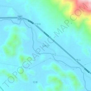
Name: 石桥头 topographic map, elevation, terrain.
Location: 石桥头, 桂林市, 广西壮族自治区, 中国 (24.53400 110.94199 24.57400 110.98199)
Average elevation: 761 ft
Minimum elevation: 472 ft
Maximum elevation: 2,766 ft
Other topographic maps
Click on a map to view its topography, its elevation and its terrain.