
灵川县 topographic map
Interactive map
Click on the map to display elevation.
About this map
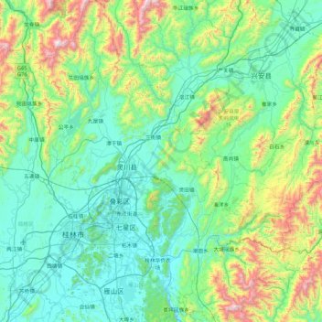
Name: 灵川县 topographic map, elevation, terrain.
Location: 灵川县, 桂林市, 广西壮族自治区, 541203, 中国 (25.02952 110.08853 25.79022 110.78516)
Average elevation: 1,414 ft
Minimum elevation: 413 ft
Maximum elevation: 5,571 ft
Other topographic maps
Click on a map to view its topography, its elevation and its terrain.