
龙胜各族自治县 topographic map
Interactive map
Click on the map to display elevation.
About this map
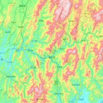
Name: 龙胜各族自治县 topographic map, elevation, terrain.
Location: 龙胜各族自治县, 桂林市, 广西壮族自治区, 中国 (25.48133 109.71801 26.19921 110.35515)
Average elevation: 2,356 ft
Minimum elevation: 525 ft
Maximum elevation: 6,217 ft
Other topographic maps
Click on a map to view its topography, its elevation and its terrain.