
红桥镇 topographic map
Interactive map
Click on the map to display elevation.
About this map
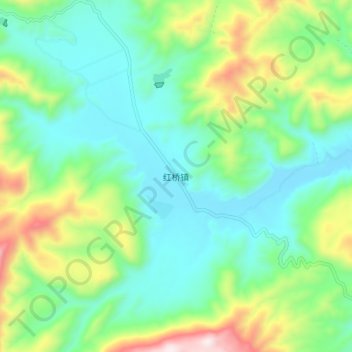
Name: 红桥镇 topographic map, elevation, terrain.
Location: 红桥镇, 丽江市, 云南省, 中国 (27.39206 100.75556 27.47206 100.83556)
Average elevation: 8,648 ft
Minimum elevation: 7,927 ft
Maximum elevation: 10,469 ft
Other topographic maps
Click on a map to view its topography, its elevation and its terrain.