
羊坪彝族乡 topographic map
Interactive map
Click on the map to display elevation.
About this map
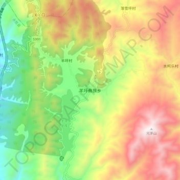
Name: 羊坪彝族乡 topographic map, elevation, terrain.
Location: 羊坪彝族乡, 丽江市, 云南省, 中国 (26.69866 100.77423 26.77866 100.85423)
Average elevation: 9,281 ft
Minimum elevation: 7,313 ft
Maximum elevation: 11,558 ft
Other topographic maps
Click on a map to view its topography, its elevation and its terrain.