
东山傈僳族彝族乡 topographic map
Interactive map
Click on the map to display elevation.
About this map
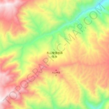
Name: 东山傈僳族彝族乡 topographic map, elevation, terrain.
Location: 东山傈僳族彝族乡, 丽江市, 云南省, 中国 (26.31807 100.85432 26.39807 100.93432)
Average elevation: 8,304 ft
Minimum elevation: 5,984 ft
Maximum elevation: 10,459 ft
Other topographic maps
Click on a map to view its topography, its elevation and its terrain.