
牦牛坪 topographic map
Interactive map
Click on the map to display elevation.
About this map
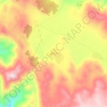
Name: 牦牛坪 topographic map, elevation, terrain.
Location: 牦牛坪, 丽江市, 云南省, 中国 (27.16578 100.94661 27.20578 100.98661)
Average elevation: 10,942 ft
Minimum elevation: 9,993 ft
Maximum elevation: 11,519 ft
Other topographic maps
Click on a map to view its topography, its elevation and its terrain.