
跑马坪乡 topographic map
Interactive map
Click on the map to display elevation.
About this map
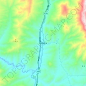
Name: 跑马坪乡 topographic map, elevation, terrain.
Location: 跑马坪乡, 丽江市, 云南省, 中国 (26.95635 100.94065 27.03635 101.02065)
Average elevation: 9,570 ft
Minimum elevation: 8,707 ft
Maximum elevation: 11,972 ft
Other topographic maps
Click on a map to view its topography, its elevation and its terrain.