
鲁甸乡 topographic map
Interactive map
Click on the map to display elevation.
About this map
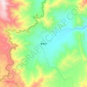
Name: 鲁甸乡 topographic map, elevation, terrain.
Location: 鲁甸乡, 丽江市, 云南省, 中国 (27.15306 99.42016 27.23306 99.50016)
Average elevation: 9,557 ft
Minimum elevation: 8,005 ft
Maximum elevation: 12,188 ft
Other topographic maps
Click on a map to view its topography, its elevation and its terrain.